Tag: Frary peak
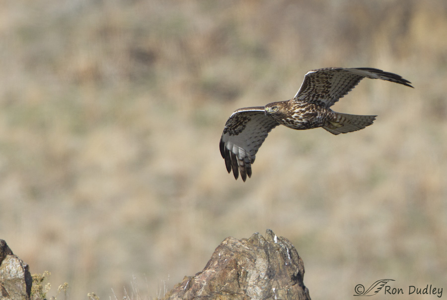
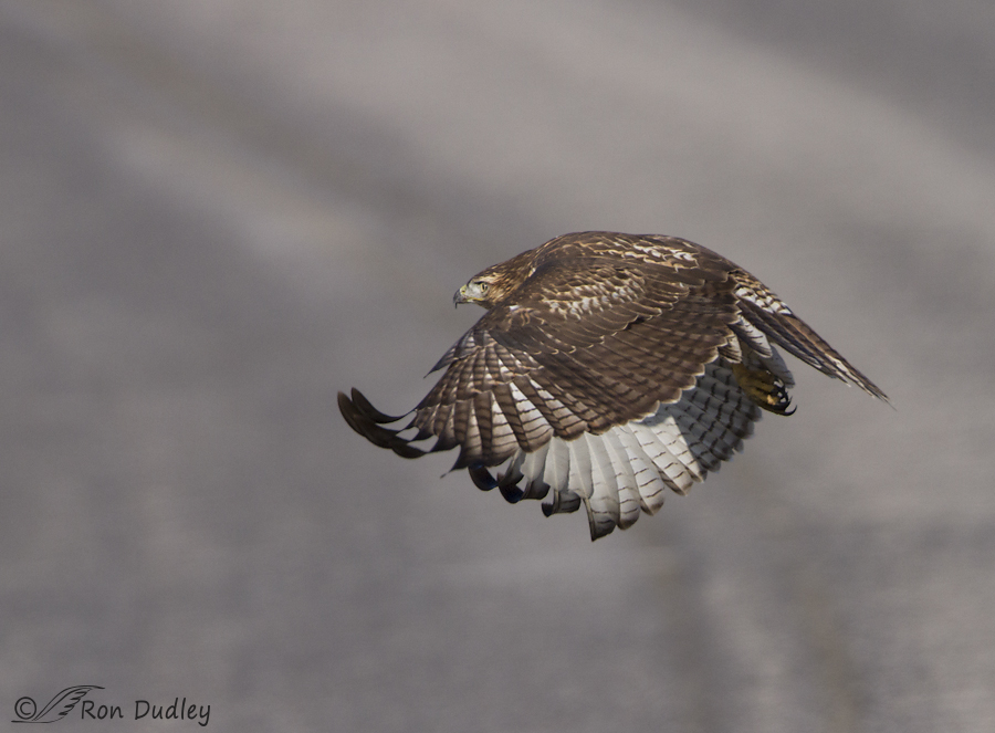
Juvenile Red-tailed Hawk Hunting Near Frary Peak
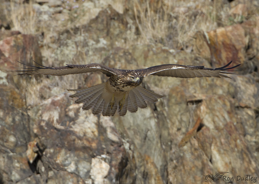
Red-tailed Hawk In Flight, Including Natural Habitat
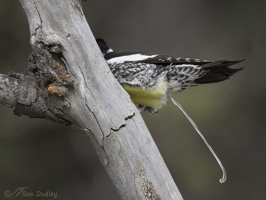
The Cloaca And A Lesson In Bird “Poop”
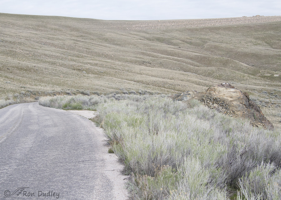
Why Did The Red-tailed Hawk Cross The Road?
Chukar On A Snow-covered Rock Ledge
Sometimes a change of position of just a few inches can have a fairly dramatic affect on the overall “feel” of an image. That was the case with this Antelope Island Chukar. 1600, f/8, ISO 400, 500 f/4, 1.4 tc, natural light I found the bird on a rock ledge and slightly above me which gave an almost eye-level perspective that I like. Occasionally it would call, as they’re very prone to do. 1600, f/8, ISO 400, 500 f/4, 1.4 tc, natural light But then it began to walk a short distance to my right (I’m always surprised that the bottoms of their feet are yellow)… 1600, f/7.1, ISO 400, 500 f/4, 1.4 tc, natural light which brought the snow-covered hillside in the background into play. At first there was a mix of snow and blue sky back there… 2000, f/7.1, ISO 400, 500 f/4, 1.4 tc, natural light but then I deliberately raised my window a couple of inches (as usual I was shooting from my pickup) to take the blue sky out of the picture. And the bird obliged me by calling once again. Most of the snow is finally gone from the island now. Even the roads to the Frary Peak trailhead and White Rock Bay are open – they’ve been closed for months due to snow. Hopefully that’s a sign that the curlews and Willets (and other spring birds) won’t be far behind. Hope so – it’s been a long dry spell on the island. Ron
Antelope Island
Of the eight major islands in the Great Salt Lake, Antelope Island is the largest at 15 miles long and 4.5 miles wide. Frary Peak reaches an elevation of 6596 feet. The island has an intriguing history, interesting geology and free roaming herds of bison, bighorn sheep, mule deer and pronghorn, in addition to a variety of smaller mammal species and plentiful birds. It is one of my very favorite photography locations – especially for birds. In this blog post I will present an overview of the island and some of its wildlife. My next post will deal specifically with bird photography on the island. The north end of Antelope Island at sunrise as seen from the causeway access road There is a 7 mile long causeway road that provides the only access to the island, which is actually a peninsula when the Great Salt Lake water levels are low. It’s common to see a variety of wildlife along this causeway including coyotes sprinting at the first sight of an early morning vehicle, American Kestrels, Northern Harriers, Burrowing Owls, Common Ravens and a variety of waterfowl and shorebirds where the water comes closer to the causeway. Approaching the north end of Antelope Island As you get closer to the island the water comes right up to the causeway’s edge and typically there’s hordes of waterfowl and shorebirds very close to the road. In the photo above, several shoreline levels of ancient Lake Bonneville can be seen where wave action eroded “benches” in the sides of the…


